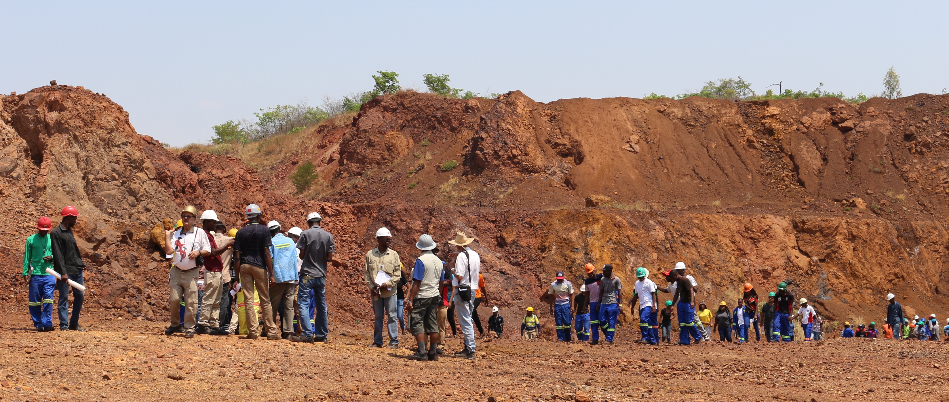
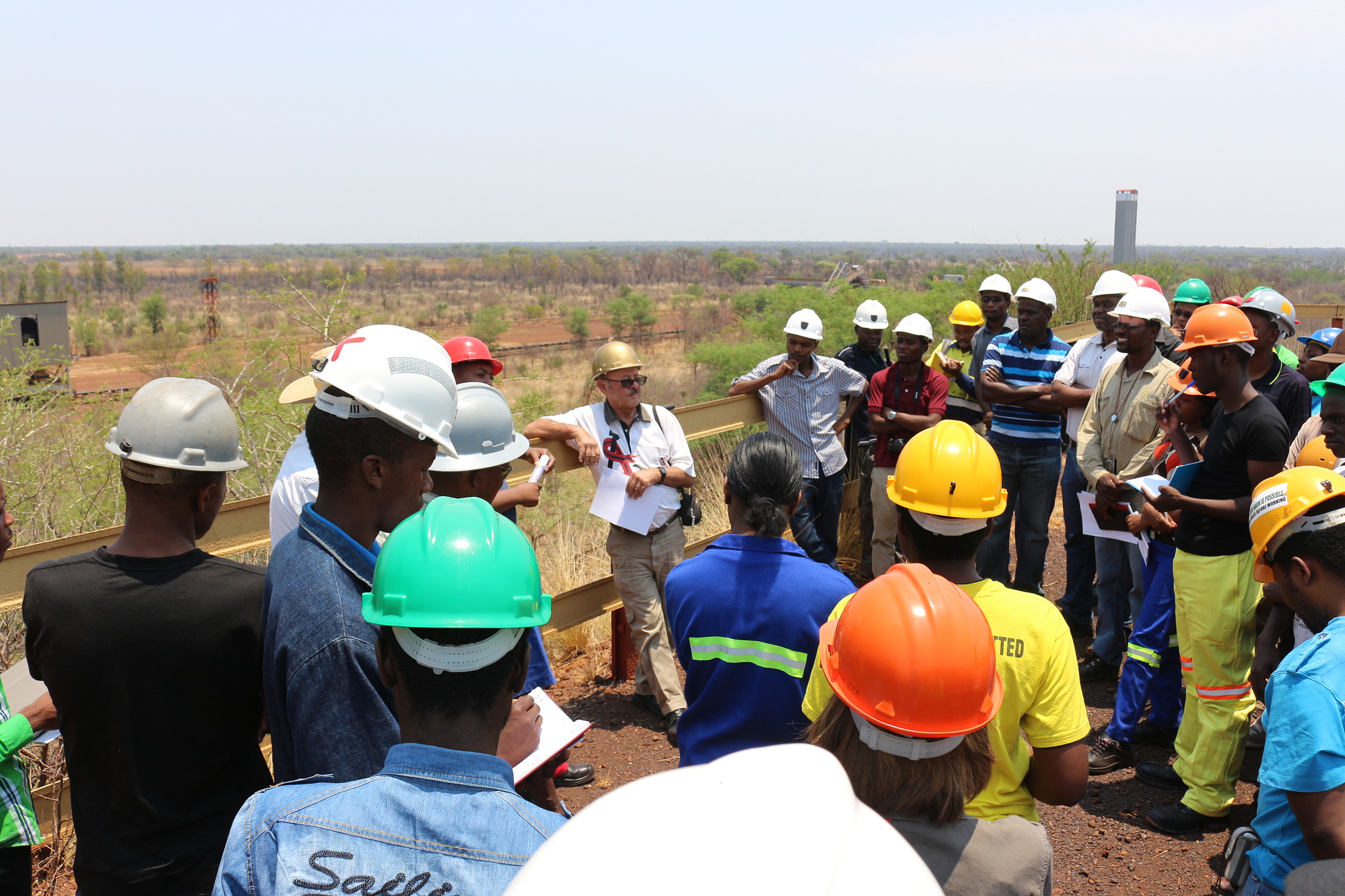
Ripple Creek Iron Ore Deposit
Submitted by Andrew du Toit on Wed, 29/10/2014 - 09:10 | Last updated: Wed, 29/10/2014 - 10:51


Grid Ref (WGS84 Lat/Long in decimal degrees)
-19.149440, 29.697987
Location:
Ripple Creek lies on Limeridge and Ellangowan farms 17km southwest of the Zisco (New Zim Steel) Steelworks. Access to the mine is via a dirt road directly from the Steelworks or via a narrow tar road from Hunters Road railway siding which is approximately 24km from Kwekwe on the main road to Gweru.
Stratigraphy:
Lannes Sedimentary Formation - Upper Bulalwayan Group
Description:
The Ripple Creek orebody lies near the base of the western limb of the Lannes Sedimentary Formation and is separated from the underlying lavas of the Ingwenya Formation only by a thin (± 5 metre) bed of felsitic shales and narrow lenticular horizons of dolomitic limestone.
The Ripple Creek iron ore deposit comprises the thickest portion of a long gossanous orebody that strikes northwest – southeast and forms a part of a 35km strike of gossanous rocks. The main deposit has a strike length of 3,5km, an average surface width of 155 metres and extends to an average depth of 150 metres. The footwall of deposit has a dip varying from 53⁰ to 68⁰ with an average dip of 61⁰ to the northeast and is complicated structurally by several Northwest-Southeast and East-West striking faults. The hanging wall contact is somewhat irregular and dips either west or east but in general has a mushroom shape caused by a westward dip at surface which at depth changes to an easterly dip paralleling the footwall. It is uncertain whether this hanging wall contact is conformable with the overlying clastic sediments or whether it transgresses them.
Further Reading:
P.E. Cheshire, A. Leach and S.A. Milner
Zimbabwe Geological Survey Bulletin No. 86
The Geology of the Country between Gwelo and Redcliff.
Salisbury 1980
Contributed:
29/10/2014
Updated:
29/10/2014
